Supervised Landcover Classification of Sentinel2 imagery over Corse region
Supervised landcover classification
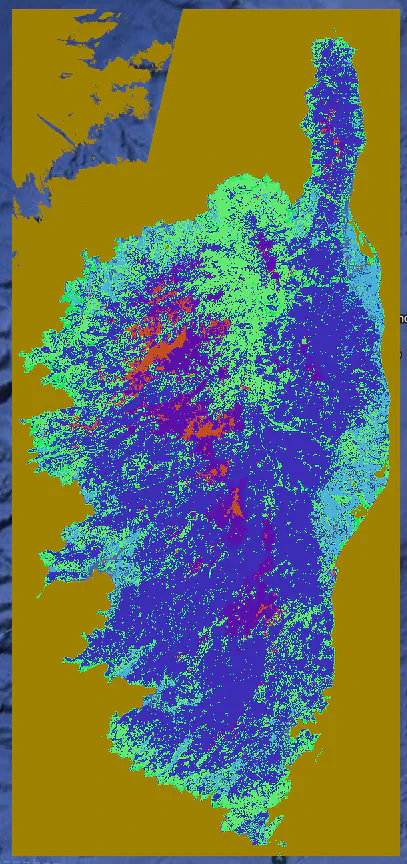
Comparison of 2 supervised models for Land cover use classification from Sentinel 2 imagery over Corse region.
ee.Classifier.smileRandomForest() - An ensemble learning method that builds multiple decision trees and aggregates their predictions through majority voting.
ee.Classifier.libsvm() - Support Vector Machine (SVM) using LIBSVM library : A powerful supervised learning algorithm that finds the optimal hyperplane to separate different classes in a high-dimensional feature space. It can use various kernel functions (e.g., linear, radial basis function (RBF), polynomial) to handle non-linear relationships.
In many geospatial land cover classification studies, Random Forest has become a popular and often highly effective choice due to its balance of accuracy, efficiency, and ease of use. However, SVM can also be a strong contender, especially when dealing with complex spectral signatures and with careful parameter optimization.
Core techs skills:
- Platform: Google Earth Engine (GEE)
- Imagery Data: Sentinel-2
- Primary Programming Language: Python
- Python : geemap, ee Development Environment: google colab
Results:
In this project, model evaluation has shows that the Random Forest model provides the best perfomance of 73% over SVM (66%).