Use Earth observation data as a tool to inform decision-making

Flood Rapid Mapping Tools

Fifi ADODO 🌍
Fifi ADODO

Earth Observation Data Specialist || Data analyst || Project Management

About Me

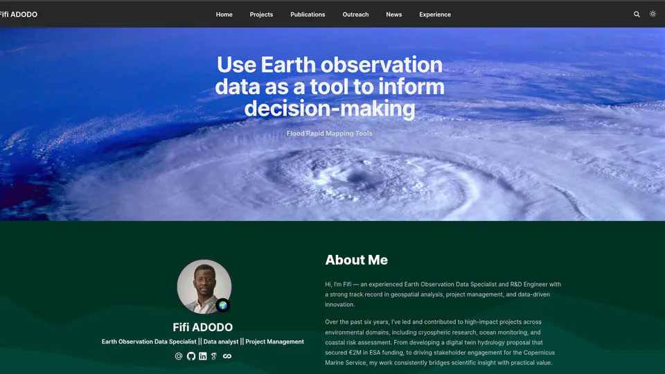
Hi, I’m Fifi — an experienced Earth Observation Data Specialist and R&D Engineer with a strong track record in geospatial analysis, project management, and data-driven innovation.

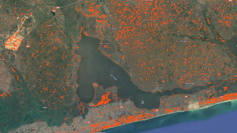
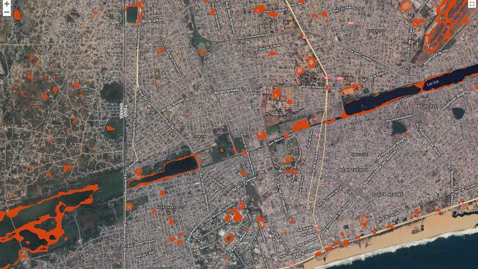
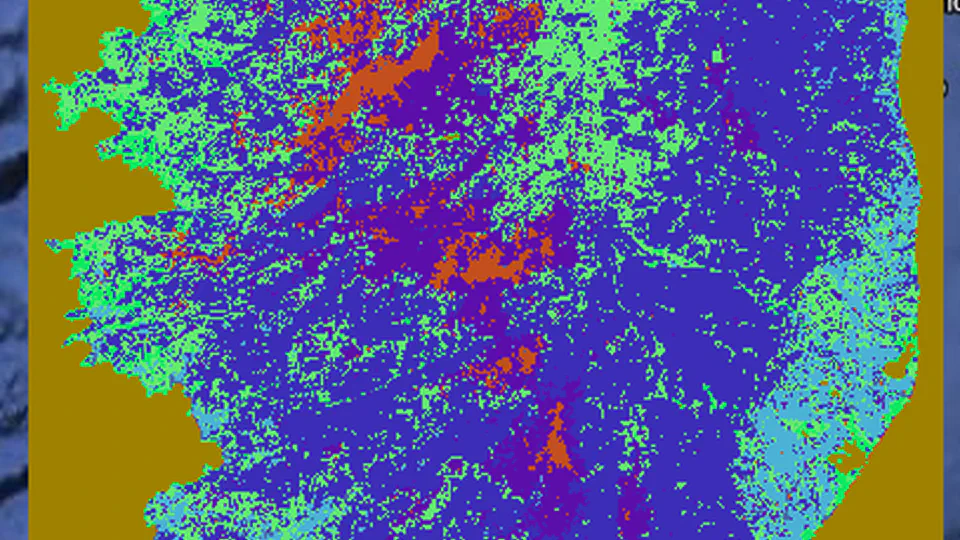
Over the past six years, I’ve led and contributed to high-impact projects across environmental domains, including cryospheric research, ocean monitoring, and coastal risk assessment. From developing a digital twin hydrology proposal that secured €2M in ESA funding, to driving stakeholder engagement for the Copernicus Marine Service, my work consistently bridges scientific insight with practical value.

With growing expertise in data analytics and AI, I’m now looking to broaden my impact by transitioning into a Data Analyst role in new sectors. My technical stack includes Python, SQL, QGIS, Power BI, and tools for data visualization, machine learning, and statistical analysis.

Driven, curious, and adaptable, I’m passionate about using data to inform decisions and solve complex challenges. Feel free to explore my portfolio to see how I can bring value to your team.

Download CV
Interests
  • 🐍 Python programming
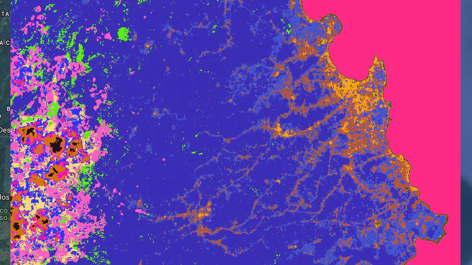
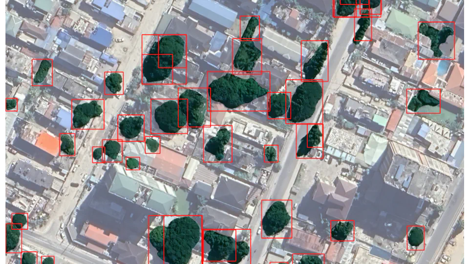
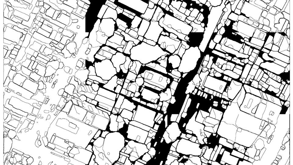
  • đŸ›°ïž Earth Observation
  • 🌏 Remote sensing
  • 📈 Machine Learning
  • 🌊 Environmental/Water Engineering
Education
  • Certification - AI and Big Data Developer

    Le Wagon

  • PhD Remote Sensing / cryosphere

    Paul Sabatier University

  • Master degree in Physical Oceanography and Applications

    Paul Sabatier University

  • Master degree in Physics Sciences

    University of Lomé

Projects

Check out my projects below!

Supervised Landcover Classification of Sentinel2 imagery over Corse region

Supervised Landcover Classification of Sentinel2 imagery over Corse region

Unsupervised sentinel-2 imagery Classification

Unsupervised sentinel-2 imagery Classification

Unsupervised sentinel-2 imagery Classification Unsupervised Sentinel 2 imagery land cover classification using GEE and geemap package Two clustering methods have been tested: Method 1 : Xmeans X-Means extends the K-Means clustering algorithm by efficiently estimating the optimal number of clusters within a specified range. The algorithm iteratively evaluates potential cluster splits using a Bayesian Information Criterion (BIC) to determine the most likely number of clusters. Users can customize parameters like the minimum and maximum number of clusters, iterations, distance function, and randomization seed for fine-grained control over the clustering process. Implemented within Earth Engine, X-Means offers a scalable solution for geospatial data analysis and pattern recognition tasks. Method 2: LVQ The algorithm learns by adjusting cluster prototypes based on the input data during training epochs. LVQ learns a set of codebook vectors (prototypes) that represent clusters in the data. It assigns each data point to the cluster whose prototype is most similar. The prototypes are adjusted iteratively based on training data (even in unsupervised mode, it needs training samples to define the initial prototypes). Discussions: LVQ is potentially better at defining complex cluster shapes. Unlike X-means,LVQ isn’t strictly tied to spherical clusters. It can adapt to more irregular cluster boundaries depending on the distribution of the training data. K-means-based algorithms are generally efficient for large datasets like satellite imagery and offers the ability to automatically estimates the number of clusters. A significant advantage over LVQ and standard K-means is its ability to determine a suitable number of clusters from the data, which can be very useful when the exact number of land cover types is unknown beforehand. XMeans model LVQ model

Object detection in satellite imagery using CNN and SAM algorithms

Object detection in satellite imagery using CNN and SAM algorithms

This Google Colab notebook demonstrates an automated approach for detecting individual trees in satellite imagery. It leverages the power of a Convolutional Neural Network (CNN) for feature extraction, enhanced by the precise segmentation capabilities of the Segment Anything Model (SAM). By integrating these advanced deep learning techniques with the geospatial processing capabilities of the leafmap library, this project enables users to accurately identify and locate trees within user-defined regions of interest. Core Technical Skills: Convolutional Neural Networks (CNNs): Mentioning experience or application of CNNs for feature extraction or object detection. Segment Anything Model (SAM): Highlighting the use and understanding of sophisticated segmentation algorithms like SAM. Satellite Imagery Analysis: Indicating proficiency in working with and analyzing data from satellite sources. Geospatial Data Processing: Demonstrating skills in handling and manipulating geospatial data. Python Programming: Essential for implementing the project. Deep Learning: A broader understanding of deep learning concepts and techniques. Image Segmentation: Specifically mentioning skills in segmenting objects within images. Object Detection: The overarching goal of the project. leafmap Library: Experience with using the leafmap library for geospatial tasks. Results: The figure suggests that the automatic tree detection algorithm has successfully identified a significant number of individual trees within the scene. The red bounding boxes appear to closely encapsulate the visible tree canopies.

Segmentation of Satellite Imagery using CNNs and SAM

Segmentation of Satellite Imagery using CNNs and SAM

Segmentation of Satellite Imagery using CNNs and SAM The goal of this Google Colab project is to accurately automatically segment a satellite imagery. To achieve this, a Convolutional Neural Network (CNN) is employed in conjunction with the Segment Anything Model (SAM), a sophisticated segmentation algorithm known for its strong performance. This Python-based implementation utilizes the leafmap library to handle and process the geospatial data, allowing users to select specific regions of interest for analysis. The algorithm has demonstrated its effectiveness in segmenting the differents objects mainly buildings. # Make sure you use GPU runtime for this notebook. For Google Colab, go to Runtime -> Change runtime type and select GPU as the hardware accelerator. Core Technical Skills: Convolutional Neural Networks (CNNs): For object detection tasks. Segment Anything Model (SAM): For advanced image segmentation. Image Segmentation Algorithms: Demonstrates understanding of the underlying techniques. Object Detection: The primary task being addressed. Geospatial Data Analysis: Working with satellite imagery. Python Programming: The primary language used. Tools & Libraries: Google Colab: The development environment. leafmap: For geospatial data handling and visualization in Colab. Deep Learning Frameworks (Implicit): While not explicitly stated, it’s implied you’re using a framework like TensorFlow or PyTorch with CNNs. You could mention this if you want to be more specific (e.g., “TensorFlow/PyTorch”). Conceptual Understanding: Region of Interest (ROI) Analysis: The ability to focus on specific areas. Remote Sensing: Understanding of satellite imagery and its applications.

Skills

Python programming

Earth Observation

Time-series analysis

Data Analytics

SQL

Machine Learning

Publications
Outreach & Talks
News

COMING SOON ….